 |
|||
 |
|||
 |
 |
 |
|
 |
 |
 |
 |
 |
 |
 |
 |
 |
 |
 |
|
 |
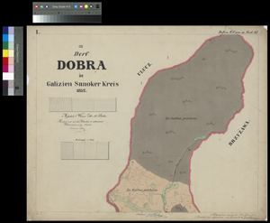
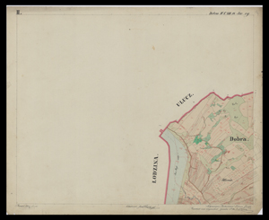
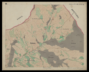
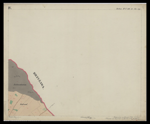
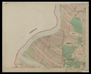
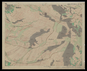
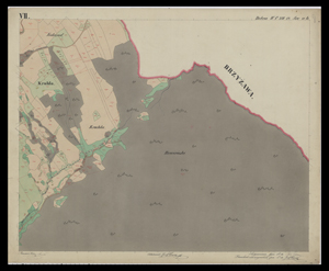
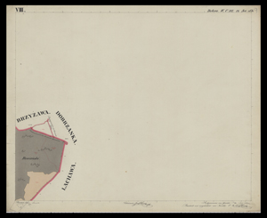
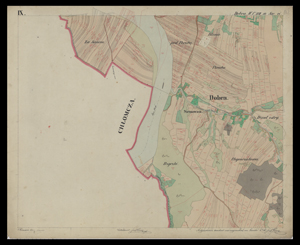
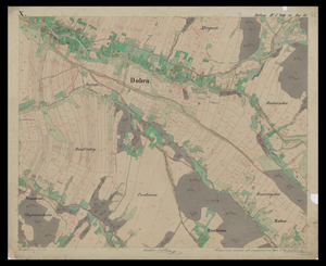
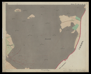
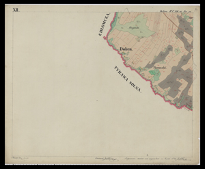
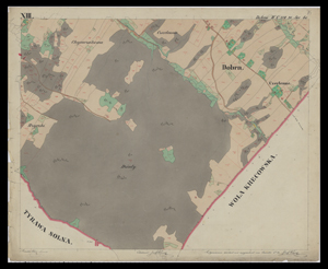
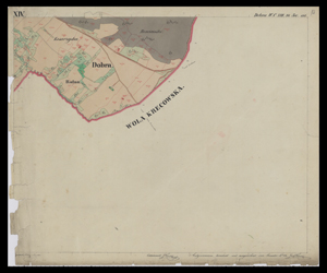
The 1852 cadastral map of Dobra, Austrian Empire (Kingdom of Galicia and Lodomeria: Sanoker Kreis)
The map was obtained in December 2014 from Archiwum Państwowe w Przemyślu.
Mapa catastralna Dobrej z 1852 r. z zasobów Archiwum Państwowego w Przemyślu.
 |
|||
 |
|||
 |
 |
 |
|
 |
 |
 |
 |
 |
 |
 |
 |
 |
 |
 |
|
 |